
Fájl:Mozambique relief location map.jpg

Az előnézet mérete: 398 × 599 képpont További felbontások: 159 × 240 képpont | 319 × 480 képpont | 510 × 768 képpont | 680 × 1 024 képpont | 1 329 × 2 000 képpont.
Eredeti fájl (1 329 × 2 000 képpont, fájlméret: 1,23 MB, MIME-típus: image/jpeg)
|
Ez a fájl a Wikimedia Commonsból származik. Az alább látható leírás az ottani dokumentációjának másolata. A Commons projekt szabad licencű kép- és multimédiatár. Segíts te is az építésében! |
| Leírás |
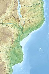
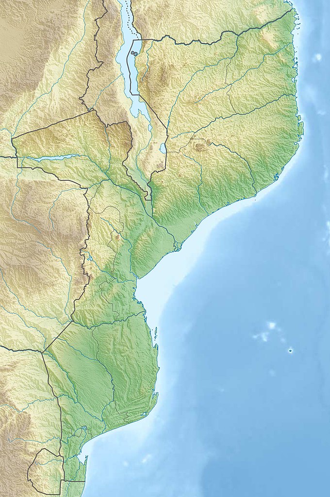
Deutsch: Physische Positionskarte von Mosambik
Quadratische Plattkarte, N-S-Streckung 105 %. Geographische Begrenzung der Karte:
English: Physical location map of Mozambique
Equirectangular projection, N/S stretching 105 %. Geographic limits of the map:
|
| Dátum | |
| Forrás |
A feltöltő saját munkája, using
|
| Szerző | Carport |
| Engedély (Fájl újrafelhasználása) |
Ez a fájl a Creative Commons Nevezd meg! – Így add tovább! 3.0 Unported licenc alapján használható fel.
|
| Más változatok |
|

Fájltörténet
Kattints egy időpontra, hogy a fájl akkori állapotát láthasd.
| Dátum/idő | Bélyegkép | Felbontás | Feltöltő | Megjegyzés | |
|---|---|---|---|---|---|
| aktuális | 2020. március 3., 22:31 | | 1 329 × 2 000 (1,23 MB) | Sémhur | Adding Tanzanian border claim (from https://www.nbs.go.tz/index.php/en/census-surveys/gis/385-2012-phc-shapefiles-level-one-and-two) |
| 2012. december 15., 23:30 |  | 1 329 × 2 000 (1,11 MB) | Carport | {{Information |Description= {{de|Physische Positionskarte von Mosambik}} Quadratische Plattkarte, N-S-Streckung 105 %. Geographische Begrenzung der Karte: * N: 10.2° S * S: 27.4° S * W: 29.8° O * O: 41.8° O {{en|Location map of [[:... |
Fájlhasználat
Az alábbi lapok használják ezt a fájlt:
Globális fájlhasználat
A következő wikik használják ezt a fájlt:
- Használata itt: af.wikipedia.org
- Használata itt: ar.wikipedia.org
- Használata itt: az.wikipedia.org
- Használata itt: ban.wikipedia.org
- Használata itt: bg.wikipedia.org
- Használata itt: bn.wikipedia.org
- Használata itt: bs.wikipedia.org
- Használata itt: ca.wikipedia.org
- Használata itt: ceb.wikipedia.org
- Használata itt: ce.wikipedia.org
- Használata itt: da.wikipedia.org
- Használata itt: de.wikipedia.org
- Mosambik
- Cahora-Bassa-Talsperre
- Ilha de Moçambique
- Monte Binga
- Bazaruto
- Maputo-Bucht
- Vorlage:Positionskarte Mosambik
- Monte Namuli
- Wikipedia:Kartenwerkstatt/Positionskarten/Afrika
- Quirimbas
- Inhaca
- Ibo (Insel)
- Monte Mabu
- Amaramba-See
- Angoche (Insel)
- Grande Hotel Beira
- Massingir-Talsperre
- Liste von Kraftwerken in Mosambik
- Benguerra
- Bucht von Tungue
- Használata itt: de.wikivoyage.org
- Használata itt: dsb.wikipedia.org
A fájl globális használatának megtekintése