
Fájl:Hautes-Pyrénées department relief location map.jpg
Az előnézet mérete: 459 × 599 képpont További felbontások: 184 × 240 képpont | 368 × 480 képpont | 675 × 881 képpont.
Eredeti fájl (675 × 881 képpont, fájlméret: 253 KB, MIME-típus: image/jpeg)
|
Ez a fájl a Wikimedia Commonsból származik. Az alább látható leírás az ottani dokumentációjának másolata. A Commons projekt szabad licencű kép- és multimédiatár. Segíts te is az építésében! |
Összefoglaló
| Leírás |
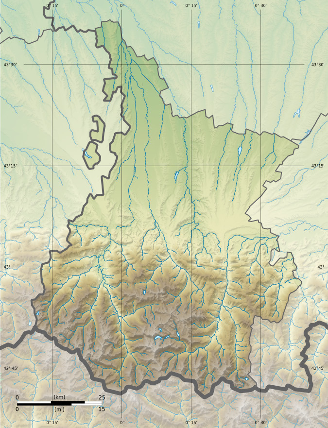
Français : Carte physique vierge du département du Hautes-Pyrénées, France, destinée à la géolocalisation.
|
| Dátum | 15:59, 24 February 2013 (UTC) |
| Forrás |
A feltöltő saját munkája. English: Data sources:
Français : Sources des données :
|
| Szerző | |
| Más változatok |
|
| Így nevezd meg (a licenc megköveteli) | © Hawk-Eye / Wikimedia Commons / |
Licenc
Ez a fájl a Creative Commons Nevezd meg! – Így add tovább! 3.0 Unported licenc alapján használható fel.
Így nevezd meg: © Hawk-Eye
- A következőket teheted a művel:
- megoszthatod – szabadon másolhatod, terjesztheted, bemutathatod és előadhatod a művet
- feldolgozhatod – származékos műveket hozhatsz létre
- Az alábbi feltételekkel:
- Nevezd meg! – A szerzőt megfelelően fel kell tüntetned, hivatkozást kell létrehoznod a licencre és jelezned kell, ha a művön változtatást hajtottál végre. Ezt bármilyen észszerű módon megteheted, kivéve oly módon, ami azt sugallná hogy a jogosult támogat téged vagy a felhasználásod körülményeit.
- Így add tovább! – Ha megváltoztatod, átalakítod, feldolgozod ezt a művet, a közreműködésedet csak az eredetivel megegyező vagy hasonló licenc alatt terjesztheted.
Fájltörténet
Kattints egy időpontra, hogy a fájl akkori állapotát láthasd.
| Dátum/idő | Bélyegkép | Felbontás | Feltöltő | Megjegyzés | |
|---|---|---|---|---|---|
| aktuális | 2013. február 24., 17:59 | | 675 × 881 (253 KB) | Hawk-Eye | == {{int:filedesc}} == {{Information |Description= {{Multilingual description |en= Blank physical/administrative map of the department of Hautes-Pyrénées, France, for geo-location... |
Fájlhasználat
Az alábbi lap használja ezt a fájlt:
Globális fájlhasználat
A következő wikik használják ezt a fájlt:
- Használata itt: eo.wikipedia.org
- Használata itt: fr.wikipedia.org
- Tarbes
- Lourdes
- Louey
- Campan
- Pic du Midi de Bigorre
- Vignemale
- Turon de Néouvielle
- Pic du Balaïtous
- Bagnères-de-Bigorre
- Gavarnie
- Chelle-Debat
- Modèle:Infobox Montagne
- Cirque de Gavarnie
- Madiran
- Col du Tourmalet
- La Mongie
- Arbéost
- Col du Soulor
- Val d'Azun
- Saint-Sever-de-Rustan
- Arras-en-Lavedan
- Pic de Néouvielle
- Pic du Marboré
- Pic des Spijeoles
- Pic Palas
- Tour du Marboré
- Casque du Marboré
- Pic du Taillon
- Grand Astazou
- Épaule du Marboré
- Pic de la Cascade oriental
- Pic de la Cascade occidental
- Petit Vignemale
- Massif du Vignemale
- Massif du Néouvielle
- Réserve naturelle nationale du Néouvielle
- Horgues
- Grottes de Gargas
- Saint-Lary-Soulan
- Lac d'Aumar
- Pic Long
- Pic Badet
- Pic d'Estaragne
- Lac d'Orédon
- Lac de Cap de Long
- Rabastens-de-Bigorre
A fájl globális használatának megtekintése