
Fájl:C71195s1 Ant.Map Mount Soza.jpg

Az előnézet mérete: 712 × 600 képpont További felbontások: 285 × 240 képpont | 570 × 480 képpont | 912 × 768 képpont | 1 215 × 1 024 képpont | 2 431 × 2 048 képpont | 3 864 × 3 256 képpont.
Eredeti fájl (3 864 × 3 256 képpont, fájlméret: 1,69 MB, MIME-típus: image/jpeg)
|
Ez a fájl a Wikimedia Commonsból származik. Az alább látható leírás az ottani dokumentációjának másolata. A Commons projekt szabad licencű kép- és multimédiatár. Segíts te is az építésében! |
Összefoglaló
| Leírás |
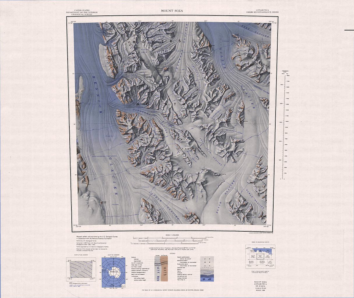
English: 1:250,000-scale topographic reconnaissance map of the Bowers Mountains area from 162°-165°E to 71°-72°S in Antarctica, including Mount Soza and Rennick and Lillie Glaciers. Mapped, edited and published by the U.S. Geological Survey in cooperation with the National Science Foundation. |
|||
| Dátum | ||||
| Forrás | http://usarc.usgs.gov/drg_dload.shtml | |||
| Szerző | United States Geological Survey | |||
| Engedély (Fájl újrafelhasználása) |
|
Fájltörténet
Kattints egy időpontra, hogy a fájl akkori állapotát láthasd.
| Dátum/idő | Bélyegkép | Felbontás | Feltöltő | Megjegyzés | |
|---|---|---|---|---|---|
| aktuális | 2005. április 4., 06:24 | | 3 864 × 3 256 (1,69 MB) | Achim Raschka | Map of Antarctica by the United States Antarctic Ressource Center of the US Geological Society. {{PD-US}} Copyrights and Trademarks USGS-authored or produced data and information are in the public domain. While the content of most USGS web pages is in th |
Fájlhasználat
Az alábbi lap használja ezt a fájlt:
Globális fájlhasználat
A következő wikik használják ezt a fájlt:
- Használata itt: ca.wikipedia.org
- Használata itt: ceb.wikipedia.org
- Használata itt: de.wikipedia.org
- Használata itt: en.wikipedia.org
- Everett Range
- Anare Mountains
- Lillie Glacier
- Bowers Mountains
- Concord Mountains
- Mirabito Range
- King Range (Antarctica)
- West Quartzite Range
- Explorers Range
- Alamein Range
- Rennick Glacier
- Freyberg Mountains
- Posey Range
- East Quartzite Range
- Molar Massif
- Salamander Range
- Lanterman Range
- Crown Hills (Antarctica)
- Mount Stirling (Antarctica)
- Használata itt: fr.wikipedia.org
- Használata itt: he.wikipedia.org
- Használata itt: it.wikipedia.org
- Ghiacciaio Rennick
- Ghiacciaio Carryer
- Ghiacciaio Alt
- Ghiacciaio Morley
- Ghiacciaio Hunter
- Ghiacciaio Linder
- Ghiacciaio Orr
- Ghiacciaio Hoshko
- Ghiacciaio Canham
- Ghiacciaio Sledgers
- Ghiacciaio MacKinnon
- Nevaio Edlin
- Ghiacciaio Lillie
- Ghiacciaio Black
- Ghiacciaio Rawle
- Ghiacciaio McCann
- Ghiacciaio Champness
- Monte Soza
A fájl globális használatának megtekintése