
Fájl:Mexico Chihuahua location map.svg

Ennek a(z) SVG fájlnak ezen PNG formátumú előnézete: 532 × 600 képpont. További felbontások: 213 × 240 képpont | 426 × 480 képpont | 681 × 768 képpont | 908 × 1 024 képpont | 1 817 × 2 048 képpont | 2 176 × 2 453 képpont.
Eredeti fájl (SVG fájl, névlegesen 2 176 × 2 453 képpont, fájlméret: 805 KB)
|
Ez a fájl a Wikimedia Commonsból származik. Az alább látható leírás az ottani dokumentációjának másolata. A Commons projekt szabad licencű kép- és multimédiatár. Segíts te is az építésében! |
W3C-validity not checked.
| Leírás |
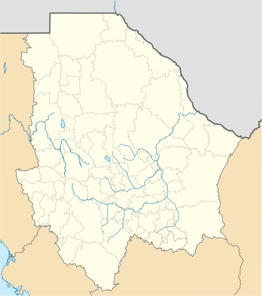
Location Map of Chihuahua Equirectangular projection, Geographic limits of the map:
|
| Dátum | |
| Forrás | A feltöltő saját munkája |
| Szerző | Battroid (talk) |
Én, e mű szerzője a művemet az alábbi licenc alatt teszem közzé:
| Én, a szerző, ezt a művemet ezennel közkinccsé nyilvánítom. Ez a világ minden részén érvényes. Egyes országokban ez jogilag nem lehetséges. Ha így van, akkor: Jogot adok bárkinek, hogy bármilyen célból, feltétel nélkül használhassa ezt a fájlt, kivéve a törvény által kötelezően előírt feltételeket. |
Fájltörténet
Kattints egy időpontra, hogy a fájl akkori állapotát láthasd.
| Dátum/idő | Bélyegkép | Felbontás | Feltöltő | Megjegyzés | |
|---|---|---|---|---|---|
| aktuális | 2012. november 5., 01:15 | | 2 176 × 2 453 (805 KB) | Battroid | {{ValidSVG}} {{Information |Description=Location Map of Chihuahua Equirectangular projection, Geographic limits of the map: * N: 32.03° N * S: 25.45° N * W: 109.47° W * E: 102.82° W |Source={{own work}} |Date=2011-08-21 |Author=[[... |
| 2012. március 5., 09:06 |  | 2 176 × 2 453 (728 KB) | Battroid | {{ValidSVG}} {{Information |Description=Location Map of Chihuahua Equirectangular projection, Geographic limits of the map: * N: 32.03° N * S: 25.45° N * W: 109.47° W * E: 102.82° W |Source={{own work}} |Date=2011-08-21 |Author=[[... | |
| 2011. augusztus 21., 21:44 |  | 2 176 × 2 453 (721 KB) | Battroid | {{ValidSVG}} {{Information |Description=Location Map of Chihuahua Equirectangular projection, Geographic limits of the map: * N: 32.03° N * S: 25.45° N * W: 109.47° W * E: 102.82° W |Source={{own work}} |Date=2011-08-21 |Author=[[Use |
Fájlhasználat
Az alábbi lapok használják ezt a fájlt:
Globális fájlhasználat
A következő wikik használják ezt a fájlt:
- Használata itt: ar.wikipedia.org
- Használata itt: bg.wikipedia.org
- Használata itt: ceb.wikipedia.org
- Használata itt: ce.wikipedia.org
- Használata itt: de.wikipedia.org
- Chihuahua (Stadt)
- Barranca del Cobre
- Ciudad Juárez
- Nuevo Casas Grandes
- Parral (Chihuahua)
- Ojinaga
- Cuauhtémoc (Chihuahua)
- Wikipedia:Kartenwerkstatt/Positionskarten/Nordamerika
- Estadio Monumental Chihuahua
- Estadio Olímpico Benito Juárez
- Naica
- Creel
- Meoqui
- Vorlage:Positionskarte Mexiko Chihuahua
- Cerro Mohinora
- Nationalpark Cumbres de Majalca
- Batopilas
- Valle de Allende
- Estadio Olímpico Universitario José Reyes Baeza
- Casas Grandes
- Használata itt: en.wikipedia.org
- Copper Canyon
- Ciudad Juárez
- Parral, Chihuahua
- Ciudad Madera
- Camargo, Chihuahua
- Chihuahua International Airport
- Ciudad Juárez International Airport
- Delicias, Chihuahua
- Batopilas, Chihuahua
- User:Stone/MPS
- Lake Arareco
- Puerto Palomas, Chihuahua
- Batopilas Municipality
- Santa Bárbara, Chihuahua
- Guachochi
- Carichí
- Témoris
- Huejotitán
A fájl globális használatának megtekintése